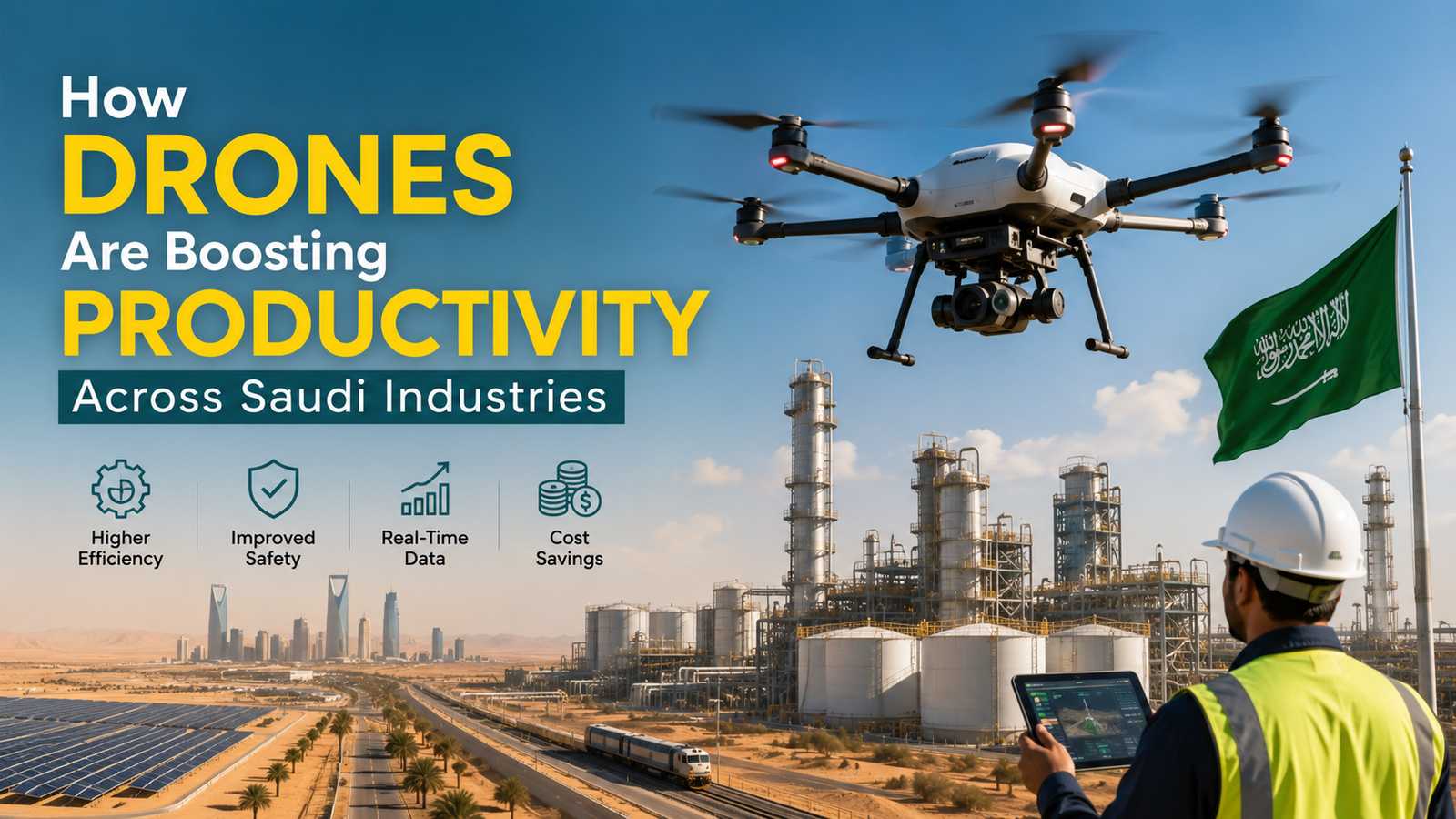
How Drones Are Boosting Productivity Across Saudi Industries
Saudi Arabia is undergoing one of the most ambitious economic transformations in the world. Vision 2030 demands smarter infrastructure, leaner operations, and technology-driven growth — and across the Kingdom’s fields, factories, and construction sites, drones are delivering exactly that.
The Productivity Challenge Facing Saudi Industries
Labor shortages, extreme heat, and vast geographic distances make traditional operational methods costly and inefficient. A farm in Al-Ahsa, a construction site in NEOM, or an oil facility in the Eastern Province each face unique challenges that ground-based teams struggle to solve at scale. Aerial drone technology is rapidly closing that gap.
Key Industries Being Transformed
| Industry | Drone Application | Productivity Gain |
|---|---|---|
| Agriculture | Crop monitoring, precision spraying | Up to 40% reduction in water & pesticide use |
| Oil & Gas | Pipeline inspection, flare stack survey | 70% faster than manual inspection |
| Construction | Site mapping, progress tracking | Real-time data, reduced rework costs |
| Logistics | Last-mile delivery in remote areas | Faster delivery with lower manpower |
| Utilities | Power line and solar farm inspection | Safer, more frequent inspections |
Agriculture: Doing More With Less Water
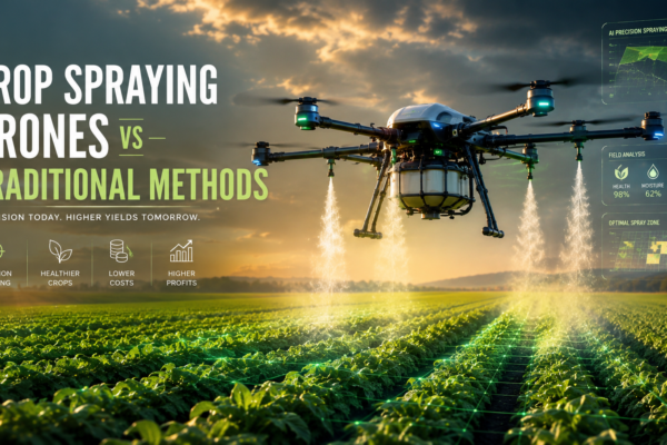
Saudi Arabia’s agricultural sector battles chronic water scarcity and scorching summer temperatures that ground crews cannot endure for extended periods. Drone-based precision spraying and multispectral crop monitoring allow farms in Qassim and Al-Jouf to target irrigation and treatment exactly where it is needed — reducing water waste and chemical overuse significantly. This directly supports the Kingdom’s food security ambitions under Vision 2030.
Oil, Gas & Energy: Safer Inspections at Speed
The Eastern Province hosts some of the world’s most critical energy infrastructure. Manual inspection of pipelines, storage tanks, and offshore platforms is slow, hazardous, and expensive. Drones equipped with thermal imaging and gas-detection sensors now complete in hours what previously took days — with zero risk to human inspectors.
Construction & Mega-Projects: Precision From Above
With giga-projects like NEOM, Diriyah, and the Red Sea Project reshaping the Kingdom’s landscape, construction site management at scale is a serious logistical challenge. Drone-based photogrammetry and 3D mapping give project managers accurate, up-to-date site data — reducing errors, cutting rework, and keeping billion-riyal projects on schedule.
Why Saudi Decision-Makers Are Choosing Nxe Drone
Purpose-built for demanding environments, Nxe Drone designs industrial-grade aerial systems that perform reliably in extreme heat, dusty conditions, and remote terrain — precisely the conditions found across Saudi Arabia’s operational landscapes.
Drone ROI at a Glance
| Operational Cost Factor | Traditional Method | Drone-Enabled |
|---|---|---|
| Field inspection (per km) | SAR 1,200+ (crew + vehicle) | SAR 180–300 |
| Crop survey (100 hectares) | 3–5 days | 4–6 hours |
| Infrastructure downtime risk | High (manual error) | Low (automated data) |
Building a Drone-Ready Operation
Integrating drones into existing workflows does not require a full operational overhaul. A phased adoption — starting with inspection or mapping tasks — delivers measurable ROI within the first quarter. Nxe Drone supports clients through deployment planning, operator training, and ongoing technical support tailored to Saudi regulatory requirements under the GACA framework.
The industries that will lead Saudi Arabia’s next decade are already deploying drones today. From the wheat fields of the north to the refineries of the Gulf coast, Nxe Drone is helping the Kingdom work smarter, safer, and faster.